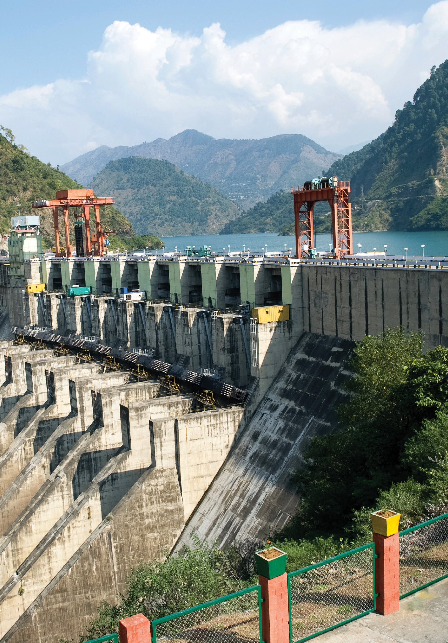
Abstract: Ever since independence, dams were looked upon as the temples of modern India, our saviour against droughts, and partners in India’s development. However, ill-conceived structures devoid of environmental assessment and lack of upstream and downstream flow data have turned them into killers throughout the length and breadth of the country.
Monitoring from space, aerial and in situ platforms in coastal regions will help develop models for interactions between ecological and anthropogenic processes, helping sustainable management of coast...
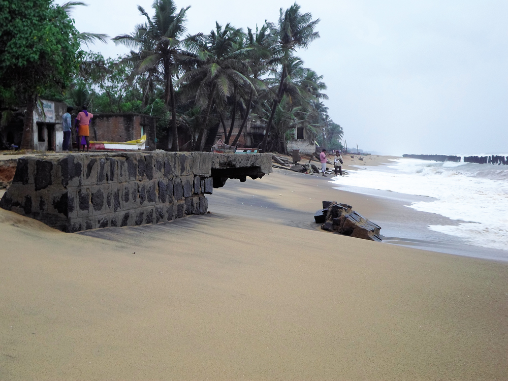
The Indian coasts hold diverse geomorphological features—mudflats, rocky shores, cliffs, sandy beaches and deltaic reaches that shelter unique ecosystems. However, significant sections of the coastlin...
Integrated Flood Warning System (IFLOWS) is an integrated GIS-based decision support system developed for Chennai and Mumbai that provides flood inundation scenarios and helps state governments to put...
The Indian coastline sustains unique habitats that are subjected to increasing anthropogenic stressors. The National Centre for Coastal Research (NCCR), engaged in addressing coastal concerns over thr...
It depicts the rate of flow (discharge) versus time elapsed at a specific point in a river, or other channel. These graphs are generally employed to understand the influence of climate such as seasonal rainfall, flood, drought and climate change on groundwater levels. In addition, hydrographs are also utilised to understand the response of aquifers to pumping and irrigation.
These are wells dug into aquifers under positive pressure. The water in artesian wells rises to a point where hydrostatic equilibrium has been reached naturally, without any artificial aid.
Bed flow is the sustained flow in a stream that comes from groundwater discharge or seepage.
Hydraulic conductivity refers to the permeability of water through a medium. It describes the ease with which water flows through the pores or fractures of an aquifer.
Recharge is the addition of water to an aquifer to replenish it. It may occur naturally through rain, runoff or through artificial measures like spreading basins and recharge wells/irrigation.
These processes are aimed to mitigate the effects of global warming. It involves a multitude of global climate modification programmes that function to tackle climate change by removing CO2 from the air.
Also called paleo-water, the term refers to ancient freshwater reservoirs created millions of years ago and trapped underground in deep aquifers.
Runoff is the water that flows over the surface of earth. The flowing water mostly is a result of storms, glacial melt, floods or other sources. Runoffs are crucial for aquifer recharge.
The term refers to the comparatively dry soil or rock located between the ground surface and the
top of the water table. The pores of the soil/rock of this zone contain both water and air.
These are sedimentary beds through which zero flow occurs because of lack of porosity. Aquicludes generally underlie or overlie an aquifer. In case of the latter, the pressure could metamorphose it into a confined aquifer.