DISASTER MANAGEMENT
A psychological change and not just rules, regulations and institutions are needed for disaster risk reduction. Voluntary compliance of safety norms can be brought about only through sustained investm...
Piyoosh Rautela
DISASTER MANAGEMENT
Given India’s population, its density, concentration in particular geographies, and weak state of its institutions of governance, adopting precautionary measures to disaster preparedness becomes imper...
Leena Srivastava and Nithiyanandam Yogeswaran
DISASTER MANAGEMENT
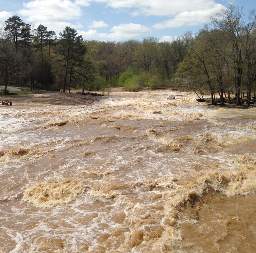
Recent earthquakes highlight the need for a risk reduction strategy, especially for urban centres. With expanding cities, risk to human lives, buildings and infrastructure also increases. Urban safety...
Shailesh Nayak
DISASTER MANAGEMENT
Combining GIS tools with remote sensing data can help in efficient hazard mapping of avalanches in the tectonically active Himalayan regions and save precious lives.
Pratima Pandey and P K Champati Ray


.png )