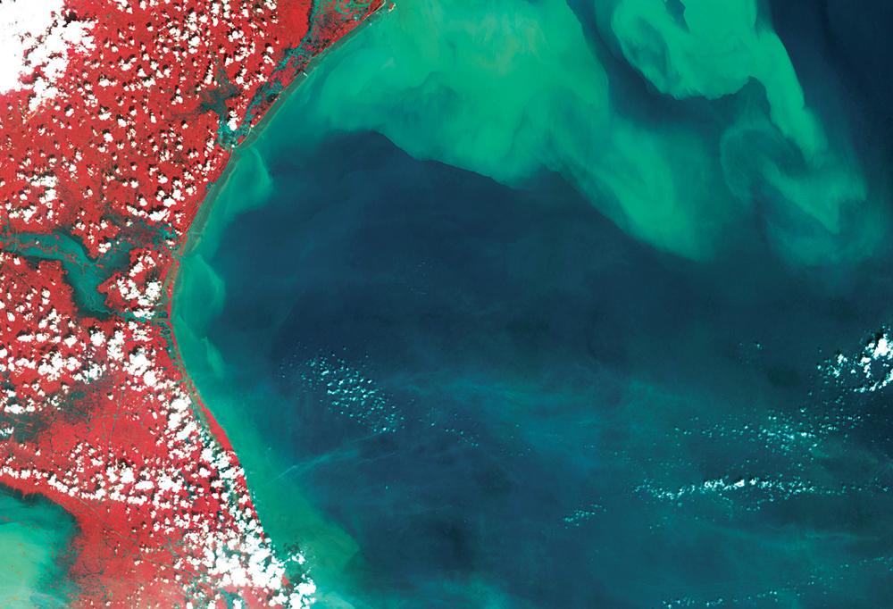
Source: Satellite image from resourcesat-2 LISS III Data of Oct 16, 2013.
Areas inundated by Cyclone Phailin in parts of Balasore and Bhadrak districts, Odisha.
Abstract: Being prepared for disasters before they strike entails ensuring that the rescue teams have the necessary equipment, know where to take people from the affected area and, most importantly, how to keep themselves safe so that the rescue operation continues. By implementing geospatial techniques, emergency preparedness and response phase operations can be customised, and ready to use scenarios can be created to provide information on how to alert, prepare and train volunteers for emergencies.
The authors are Scientist, Head of Division and Group Director, National Remote Sensing Centre, Hyderabad. vinod_sharma@nrsc.gov.in
What if India's pathway to net zero does not end at factories—but begins where terrestrial meets the coastal? As carbon emissions rise and climate risks intensify, the search for solutions has largely...
India is set to embark on a new chapter in its Polar exploration journey with the construction of Maitri II. The Indian government plans to establish a new research station near the existing Maitri ba...
The Deep Ocean Mission (DOM), approved by the Government of India in 2021 under the Ministry of Earth Sciences (MoES), represents a strategic step in realizing Sustainable Development Goal 14 (SDG 14:...
China recently announced restrictions on the export of seven rare earth elements (REEs), soon after US President Donald Trump decided to impose tariffs. As the world's dominant supplier—responsible fo...
Avalanche or a snow slide, may occur during winter from December to April, along any slope in the snow bound reaches of the Himalaya. The Snow and Avalanche Study Establishment, Chandigarh, is responsible for operational avalanche prediction in India.
These are pre-monsoon showers in Karnataka, Kerala, and parts of Tamil Nadu and Puducherry. They help in mango ripening. They occur in late April and early May, and are caused due to thunderstorms over the Bay of Bengal.
These severe thunderstorms that occur between March and May, sometimes reaching tornadic violence. The winds in these storms come from a north-westerly direction. They are also known as Kalbaisakhi.
In a tropical or subtropical storm when the eye of the storm passes over land, it is termed as 'making landfall'. However, many times the strongest winds in a tropical cyclone can be experienced over land even without landfall.
It is the point where most severe damage is experienced during an earthquake. It has no physical meaning as it is hypothetical point on the surface vertically above the source of the earthquake—hypocentre or focus.
It is an oscillation of the ocean-atmosphere system in the tropical Pacific with effects like increased rainfall and brush fires. In contrast, La Niña is characterised by unusually cold ocean temperatures in the equatorial Pacific.
These are used to prevent fires in the forest. In addition to the specially cut fire lines, all roads passing through the forest are treated as fire lines. Trenches or raised portions are cleared of vegetation and burnt before the fire season commences.
These are caused by the vertical motion of the seabed or volcanic eruptions. Despite travelling more than 1000 km, they are less frequent but more hazardous than regional tsunamis.
It can be caused by an earthquake or other rapid loading. It occurs in soils in which the space between the particles is filled with water.