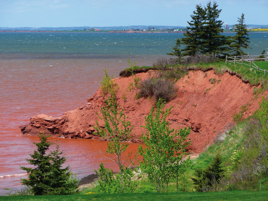
According to the National Centre for Coastal Research, Chennai, almost one-third of India’s 7,517 km long coastline was lost to soil erosion between 1990-2016.
Abstract: Soil erosion is the removal of the top layer by natural agents. However, deforestation, overgrazing and infrastructural development accelerate soil erosion. As soil is a critical natural resource, the risk of its erosion must be addressed urgently. Use of modern technologies like remote sensing and GIS can help build an understanding towards risk mitigation.
The authors are Professor and Assistant Professor, Department of Geography, Faculty of Natural Sciences, Jamia Millia Islamia, New Delhi, respectively. ateeqgeog@yahoo.co.in
What if India's pathway to net zero does not end at factories—but begins where terrestrial meets the coastal? As carbon emissions rise and climate risks intensify, the search for solutions has largely...
India is set to embark on a new chapter in its Polar exploration journey with the construction of Maitri II. The Indian government plans to establish a new research station near the existing Maitri ba...
The Deep Ocean Mission (DOM), approved by the Government of India in 2021 under the Ministry of Earth Sciences (MoES), represents a strategic step in realizing Sustainable Development Goal 14 (SDG 14:...
China recently announced restrictions on the export of seven rare earth elements (REEs), soon after US President Donald Trump decided to impose tariffs. As the world's dominant supplier—responsible fo...