SCIENCE, WEATHER N CLIMATE
<p>Snowfall recorded in Kashmir Valley in the last few days has broken previously held records at some of the stations. The snowfall has been described as ‘above normal’ rainfall by Sonam Lotus, Direc...
Staff Reporter
SCIENCE, WEATHER N CLIMATE
Studying stalagmites and their deposits can reveal the frequency and magnitude of dry and wet seasons in the past. Such studies can help predict climate uncertainties.
Shraddha Band M G Yadava and R Ramesh
SCIENCE, WEATHER N CLIMATE
The western Himalayan region experienced an increasing trend of one-day heaviest precipitation, during both winter and monsoon through 1978 to 2007. While one day heaviest precipitation is on the ris...
Naresh Kumar B P Yadav and Sanjay Bist
SCIENCE, WEATHER N CLIMATE
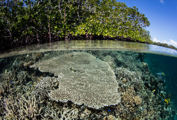
A coastal zone is one of the most fragile ecosystems on earth. Managing coastal resources sustainably calls for up-to-date knowledge, cutting edge planning and trained human resources. Satellite remot...
Debashis Mitra

.png )