Space Technology for Flood Forecasting, Flood Hazard Mapping and Flood Monitoring
Published: Apr 20, 2018
Published: Apr 20, 2018
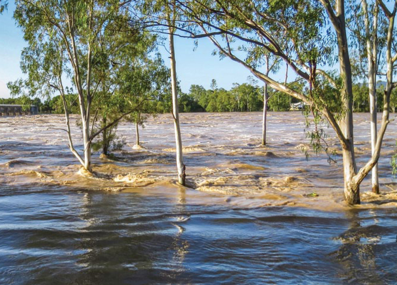
Photo courtesy: JooJoo41
Keep reading with one of these options :
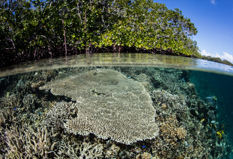
ENVIRONMENT, EARTH SCIENCE, BIODIVERSITY