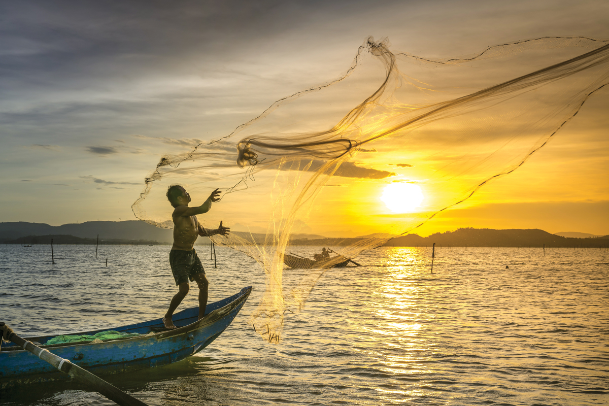
Abstract: India is one of the important marine fish producing countries. Conventionally, for profitable fish catch, fishermen have to spend a lot of time scouting the region using up precious fuel and time as the fish resources are affected by spatial and temporal nature of various environmental factors like temperature, availability of food, currents, wind etc. Due to limited visibility, fishing vessels are unable to see the dynamic nature of environmental parameters on a larger scale that affect the distribution of fish resources. However, satellite remote sensing offers a synoptic view of the ocean in space and time and can provide information needed to assess and locate the probable areas of fish aggregation. In view of this, Space Applications Centre (SAC) initiated and developed an approach to identify and forecast Potential Fishing Zones (PFZ) using remote sensing technique and transferred the technology to Indian National Centre for Ocean Information Services (INCOIS) for operational execution.
Glaw Lake was recently designated as Arunachal Pradesh’s First and India’s 101st Ramsar Site. It is located within the Kamlang Tiger Reserve and Wildlife Sanctuary. It hosts diverse flora and fauna sp...
Maritime chokepoints are vital points along shipping routes that facilitate the passage of substantial trade volumes. These chokepoints control the global essential supplies such as oil, gas, fertiliz...
What if India's pathway to net zero does not end at factories—but begins where terrestrial meets the coastal? As carbon emissions rise and climate risks intensify, the search for solutions has largely...
India is set to embark on a new chapter in its Polar exploration journey with the construction of Maitri II. The Indian government plans to establish a new research station near the existing Maitri ba...