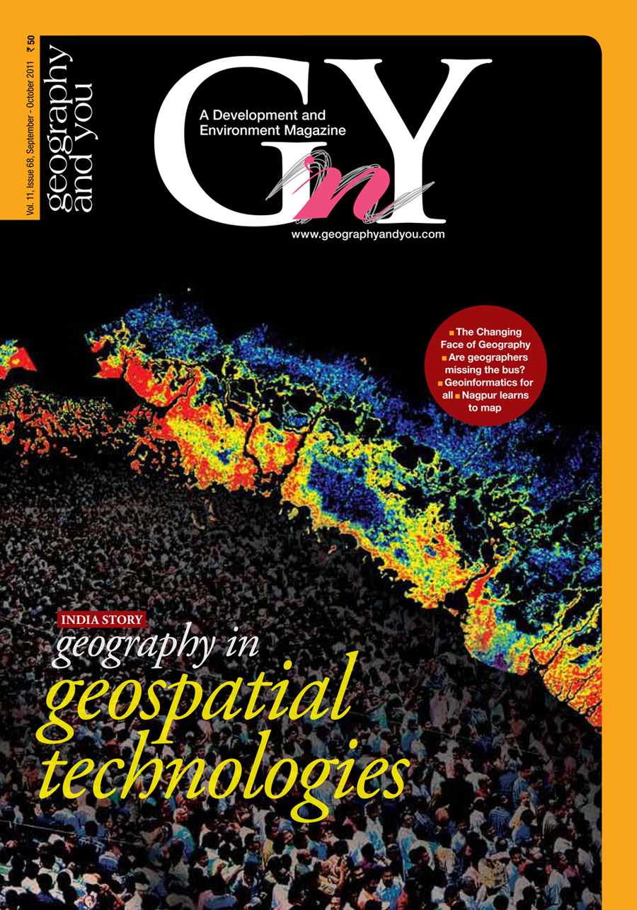
Geography in Geospatial Technologies cover

Vol no. 11 Issue No. 68

Inside this issue

Geography in GIS

The Changing Face of Geography

By: Roger F Tomlinson

Today the study of geography is changing significantly and beneficially and, in particular, expanding outside academic confines. This is enabling the domain to meet the demand for the use of geographic science to address myriad issues facing the world.

Are Geographers Missing the Bus?

By: Sulagna Chattopadhyay

In a world which is increasingly becoming spatially aware geography and geographic information system (GIS) need realignment to enable geographers to fit in.

Geographic Information System (GIS)

By: Staff Reporter

A brief introduction to the basic concepts of GIS.

Nagpur learns to map

By: Staff Reporter

A three day National Level Data Users’ Seminar and GIS Training for 55 senior secondary school and junior college teachers from the Vidharba region of India held in Nagpur, from 16 to 18 of October 2011, turned into a memorable event for all.

GIS update

By: Staff Reporter

Geographic information system and its applications are fast becoming a part of daily living. Here are some excepts of how exactly GIS is slowly edging toward world domination.

Why Geomatics matters

By: Markus Neteler and Duccio Rocchini

The boundaries between surveying, mapping, geographic information system (GIS), remote sensing and global navigation satellite systems (GNSS) are blurring making it easier to integrate them under the umbrella of geomatics.

Power and GIS

Power Reforms in India an Opportunity for GIS

By: Ajay Srivastava

The Ministry of Power, Government of India, launched the Restructured Accelerated Power Development and Reforms Programme (R-APDRP) in July 2008. Geographic information system (GIS) is an integral part of its implementation, intrinsically indicating that geospatial technologies are slated to soon become a way of life.

Smart Grid in India

By: Navneet Gupta and Apurav Jain

India is steadily venturing into renewable energy resources like wind and solar. With such unpredictable energy sources feeding the grid, it is necessary to have a grid that is highly adaptive in terms of supply and demand. A good electric supply is one of the key infrastructure requirements to support overall development, hence, the opportunities for building smart grids in India are immense.

Environment Today

Forests in India-Statistics Speaks

By: Sunitha Bhaskar and Jasmeet Bagga

A statistical assessment of the state of India’s forests after the implementation of Forest Conservation Act, 1980 is attempted in the paper. The increasing green cover and decreasing trend in diversion of forest area after 2001 seem to be positive signs.

Keoladeo Ghana National Park

By: Sumit Chakraborty and Shubhra Kingdang

The lifeline of the UNESCO heritage site was choked off when the Panchana Dam was built on the Gambhir River. Now there is a move to reserve a share of water from the very same Dam for the Park and rejuvenate the millions that depend on it for their lives and livelihood.

India's Outdoors

Palampur in the Rains

By: S Srinivasan

Located in the picturesque Kangra Valley, Palampur is a tourists’ delight. Within reach from the town by short drives and walks are numerous fascinating destinations which become even more mystical in the rains.

Sculpting Stories

By: Staff Reporter

The dark raw forms of the metal artifacts and figurines of Chhattisgarh, appear as a reflection of its own people. Both share a coarseness that is underlined by quiet elegance and dignity.

In brief

Editor's Note

Dear readers, The opportunity that geospatial information provides can make a real difference in our everyday lives. Yes, geographic information system (GIS) is just a tool, but once the value and potential of such information is realised, the results will be astounding. India needs to urgently cap

Term Power

What is ...

Attribute data is descriptive information about features or elements of a database. E.g. street names, street types (highway, side street, etc.), and pavement types.

AM/FM is an acronym for automated mapping and facilities management. AM/FM applications are a specialised GIS. The systems are used by public and private utilities, city and state governments, and other organisations that require careful management of a widely distributed collection of capital equipment, stock, or ‘facilities’. AM/FM most commonly describes databases designed to manage networks of roads, pipes, and wires.

Base maps provide the background upon which thematic data is overlaid and analysed. In a GIS, the term usually refers to information about relatively permanent, sometimes timeless, features including topography, pedology, geology, cadastral divisions, and political divisions.

A zone of a specified distance around features in a geographic layer. Buffers can be set at constant or variable distance based on feature attributes. The resulting buffer zones form polygonal coverages.

Currency measures how recently the map data was collected, usually expressed as the revision date.

Digitising is the process of converting existing data from paper maps as well as drawings and aerial photos into digital form by (1) manually tracing the maps on hardware that consists of a digitiser table and a cursor with crosshairs and keys used to record map features as x, y coordinates or (2) scanning the map and using automatic conversion software to translate the resulting raster file to vectors and storing it directly in the GIS.

Edge matching is an important part of the creation of a digital map or GIS database. One digital map may encompass many paper maps. But when the paper maps are laid edge-to-edge, features running across the boundaries of the map sheets are not always properly aligned. Edge matching is a term applied to a variety of techniques employed to resolve these inconsistencies, including warping and rubber sheeting.

Layers are a means of organising and managing map data by type. Hydrological features (such as floodplains), parcel maps, railroads, and so on can be contained on separate layers for easy map creation and maintenance. Layers are also referred to as coverages or themes.

Raster data takes an evenly spaced grid (like a piece of graph paper) and places a value in each square, or cell. Raster data is best suited for continuous data such as slope, rainfall, or the amount of light reflecting off the ground - as in a photograph.

Vector data is the storage of x, y, z coordinates connected to form points, lines, areas, and volumes. Vector data is best suited to store discrete, well defined data that can clearly be delimited. Location of oil wells (points), street centrelines (lines), timber stands (areas), and groundwater tables (volumes) are good candidates for vector storage.

Letters