SURVEY OF INDIA
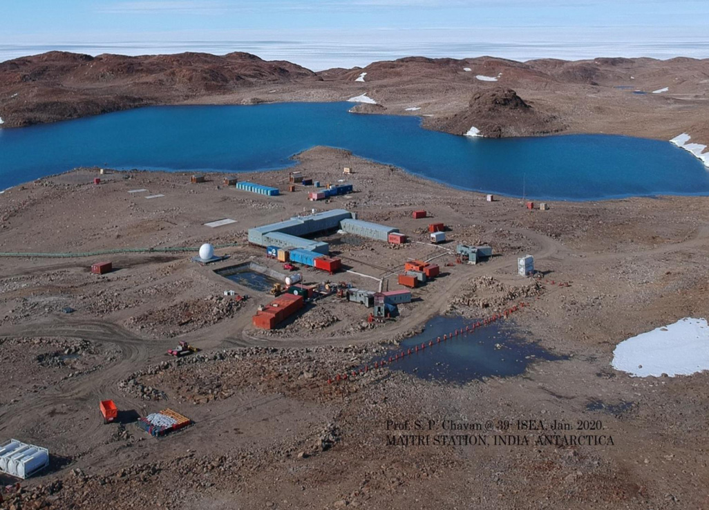
The Geodetic and Research Branch of Survey of India has a long history of over 130 years, since 1877, of maintaining tidal data generated from the tide gauge network along the Indian coast and islands...
Staff Reporter
SURVEY OF INDIA
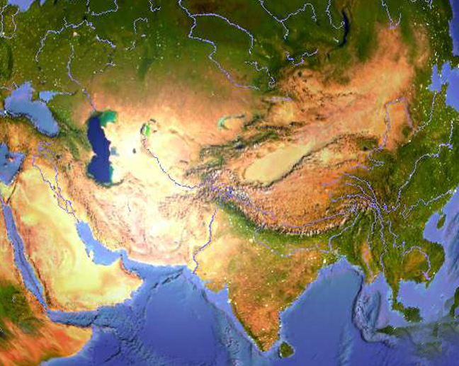
Survey of India is in the process of developing a geoid model. In practice, geodesy uses the principles of mathematics, astronomy and physics and applies them within the capabilities of moderm enginee...
Staff Reporter
SURVEY OF INDIA
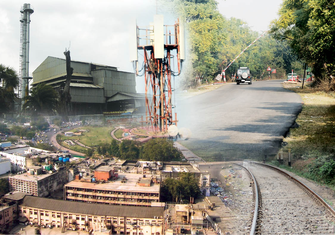
The advancements in digital technologies have now made it possible to use diverse spatial databases in an integrated manner. The responsibility for producing, maintaining and disseminating the topogra...
Staff Reporter
SURVEY OF INDIA
The Great Trigonometrical Survey were spread over 1,600 miles in length along the meridian and, at places, 1,200 miles in latitude, in order to cover the entire country. This work took approximately f...
Staff Reporter


.png )