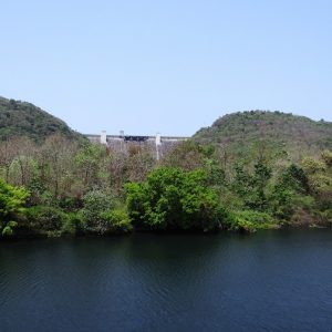
NRDMS Initiative to Rejuvenate Groundwater through Village Ponds


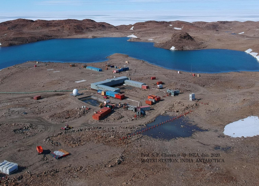
India is set to embark on a new chapter in its Polar exploration journey with the construction of Maitri II. The Indian government plans to establish a new research station near the existing Maitri ba...
.png )
The Deep Ocean Mission (DOM), approved by the Government of India in 2021 under the Ministry of Earth Sciences (MoES), represents a strategic step in realizing Sustainable Development Goal 14 (SDG 14:...

China recently announced restrictions on the export of seven rare earth elements (REEs), soon after US President Donald Trump decided to impose tariffs. As the world's dominant supplier—responsible fo...
<p>Groundwater is the source of over one-third of usable water in the country, and its over usage and contamination can lead to serious repercussions. States such as Delhi, Haryana, Punjab and Rajasth...
<p>India consists of over 6,40,867 villages, in which 68 per cent of the country’s population lives, making it a huge source of constantly changing and accumulating data (Census, 2011).</p>
<p>Every year hundreds of people lose their lives to landslides around the world. The most recent landslide that occurred in Jakarta, Indonesia on February 5, 2018, has impacted thousands and left two...
<p>Planet earth is home to almost 8.7 million (give or take a million species) different species, with 6.5 million species on land and 2.2 million species under water.</p>
<p>Groundwater is the source of over one-third of usable water in the country, and its over usage and contamination can lead to serious repercussions. States such as Delhi, Haryana, Punjab and Rajasthan consume more Groundwater than the annual Groundwater recharge, hence, depleting the resource faster.</p>

<p>India consists of over 6,40,867 villages, in which 68 per cent of the country’s population lives, making it a huge source of constantly changing and accumulating data (Census, 2011).</p>

<p>Every year hundreds of people lose their lives to landslides around the world. The most recent landslide that occurred in Jakarta, Indonesia on February 5, 2018, has impacted thousands and left two dead and eight missing (Sidiq, 2018). India too has had its share of devastating landslides which have taken numerous lives.</p>
