Using GIS in the Tourism Industry


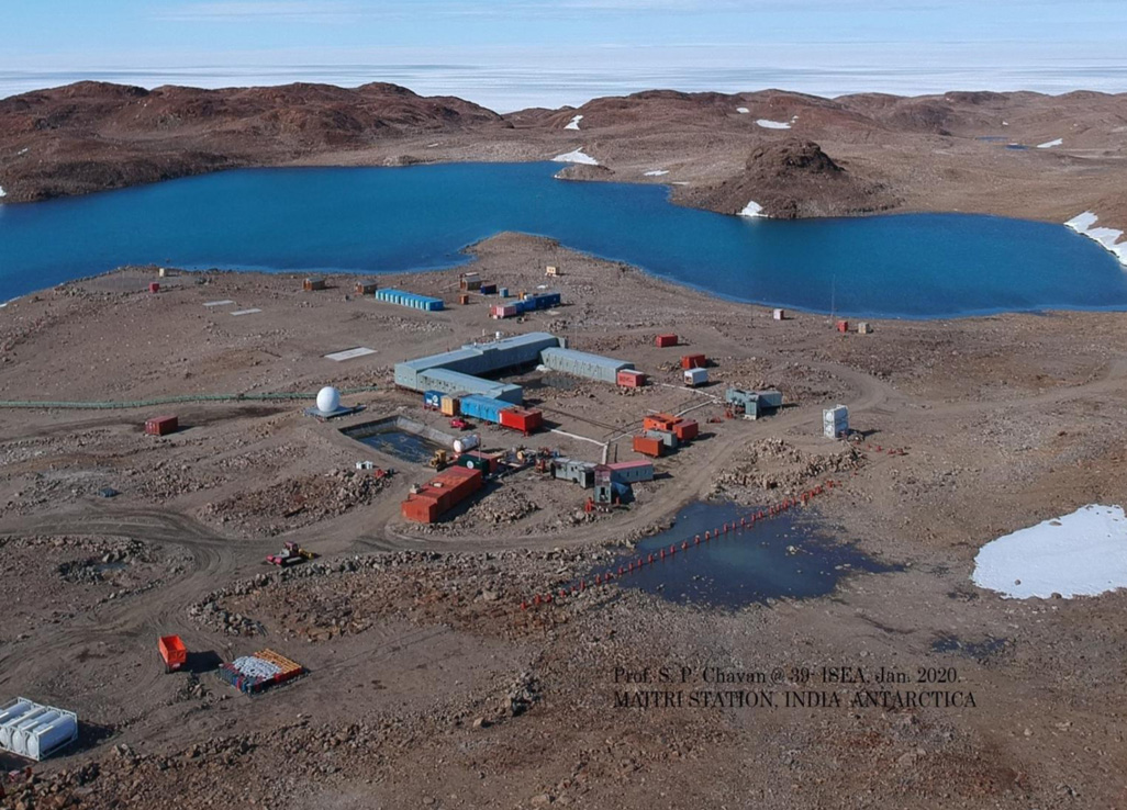
India is set to embark on a new chapter in its Polar exploration journey with the construction of Maitri II. The Indian government plans to establish a new research station near the existing Maitri ba...
.png )
The Deep Ocean Mission (DOM), approved by the Government of India in 2021 under the Ministry of Earth Sciences (MoES), represents a strategic step in realizing Sustainable Development Goal 14 (SDG 14:...

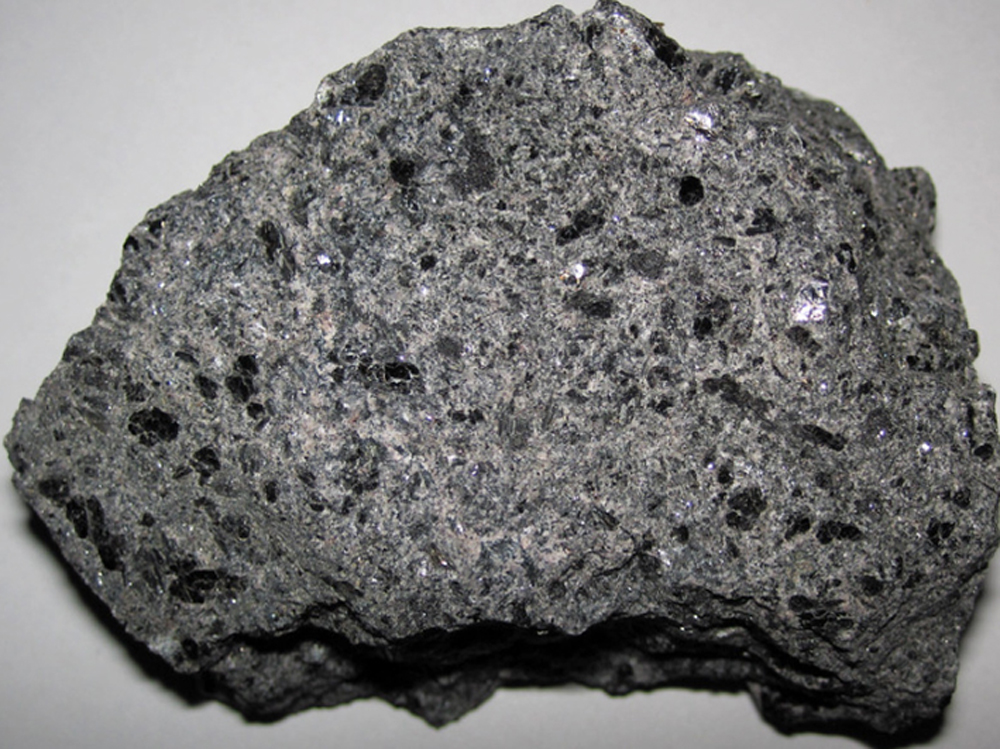
China recently announced restrictions on the export of seven rare earth elements (REEs), soon after US President Donald Trump decided to impose tariffs. As the world's dominant supplier—responsible fo...
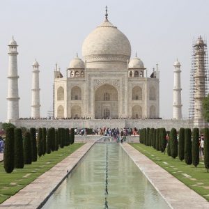
<p>India, the land of diversity and colours! India is home to 36 world heritage sites and a wonder of the world, and has always been a must-visit destination for tourists around the world. India welco...
<p>In the first ever general election in 1952, India had 176 million registered voters while in the most recent general elections of 2014, the country has 814 million registered voters (India Today, 2...
<p>The Natural Resources Data Management System (NRDMS) is an initiative of Department of Science and Technology of Government of India, conceived to help Policy makers and planners to formulate devel...
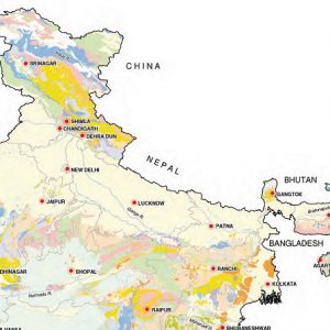
<p>GIS or Geographic Information Systems and other forms of spatial data management and application are increasingly becoming a core component of the information technology (IT) infrastructure of Indi...
<p>India, the land of diversity and colours! India is home to 36 world heritage sites and a wonder of the world, and has always been a must-visit destination for tourists around the world. India welcomed over 8.03 million foreign tourists in 2015, and the number rose to 8.80 million in 2016 (GOI, 2017). According to […]</p>

<p>In the first ever general election in 1952, India had 176 million registered voters while in the most recent general elections of 2014, the country has 814 million registered voters (India Today, 2014). People in India, the largest democracy of the world elect representatives for Parliament, State Assembly, Panchayat and Nagar Palika.</p>

<p>The Natural Resources Data Management System (NRDMS) is an initiative of Department of Science and Technology of Government of India, conceived to help Policy makers and planners to formulate developmental strategy.</p>
