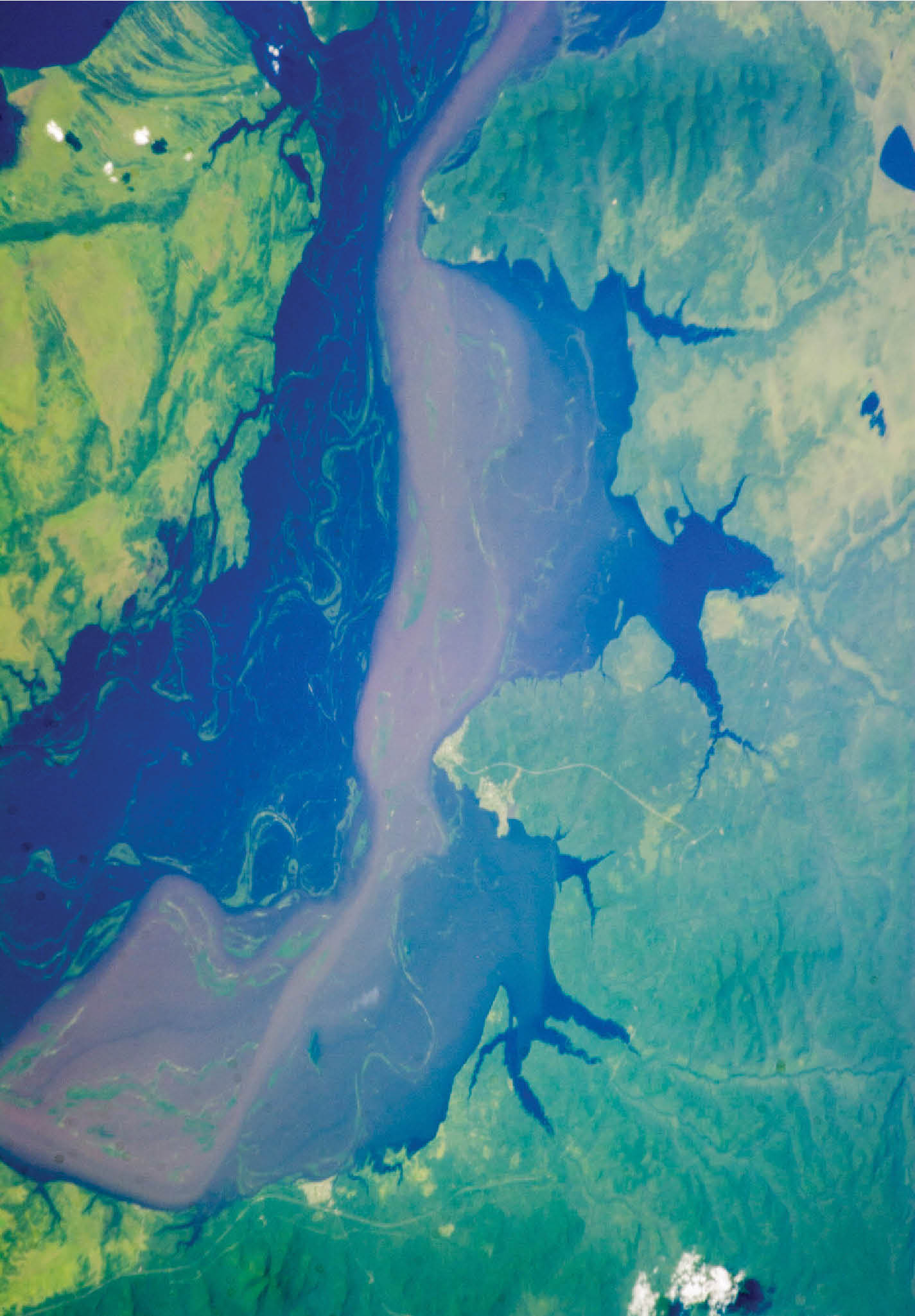
Satellite mapping of flood risks at high resolution from space allows for in-depth and accurate analyses.
Abstract: Flood hazard zonation is one of the most important non-structural measures, facilitating appropriate regulation and development of floodplains and thereby reducing the flood impact. Satellite remote sensing data have the capability to ‘provide comprehensive, synoptic and multitemporal coverage of large areas in near real time and at frequent intervals’ over the flood-affected regions.
The authors are Senior Scientist at the Disaster Management Support Group, and Head, Disaster management Support Division, National Remote Sensing Centre, Indian Space Research Organization Balanagar, Hyderabad, respectively. pmanjusree@yahoo.com
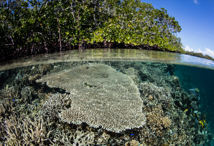
What if India's pathway to net zero does not end at factories—but begins where terrestrial meets the coastal? As carbon emissions rise and climate risks intensify, the search for solutions has largely...
India is set to embark on a new chapter in its Polar exploration journey with the construction of Maitri II. The Indian government plans to establish a new research station near the existing Maitri ba...
The Deep Ocean Mission (DOM), approved by the Government of India in 2021 under the Ministry of Earth Sciences (MoES), represents a strategic step in realizing Sustainable Development Goal 14 (SDG 14:...
China recently announced restrictions on the export of seven rare earth elements (REEs), soon after US President Donald Trump decided to impose tariffs. As the world's dominant supplier—responsible fo...