Misaligned cropping patterns Vs water resources
Published: Aug 15, 2018
Published: Aug 15, 2018
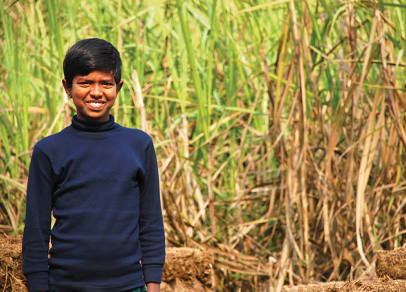
Photo: Prasad
Bihar has a huge potential for increasing land productivity of sugarcane, provided irrigation coverage in the state is increased; Champaran, Bihar.
Keep reading with one of these options :

ENVIRONMENT, EARTH SCIENCE, BIODIVERSITY