Biomedical Metrology


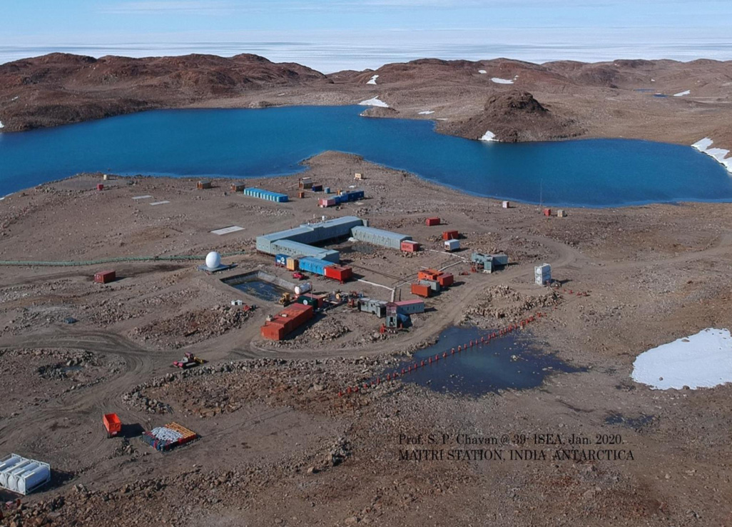
India is set to embark on a new chapter in its Polar exploration journey with the construction of Maitri II. The Indian government plans to establish a new research station near the existing Maitri ba...
.png )
The Deep Ocean Mission (DOM), approved by the Government of India in 2021 under the Ministry of Earth Sciences (MoES), represents a strategic step in realizing Sustainable Development Goal 14 (SDG 14:...

China recently announced restrictions on the export of seven rare earth elements (REEs), soon after US President Donald Trump decided to impose tariffs. As the world's dominant supplier—responsible fo...
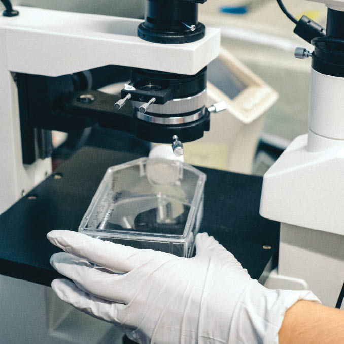
The advances in medical science have come hand in hand with the arrival of new technology that is capable of diagnosis, treatment and everything in between. This makes it crucial to ensure accurate an...
Rural employment creation is the vital process in mitigating economic weakness of rural poor using best of the technological paradigm available. Mahatma Gandhi National Rural Employment Guarantee Act...
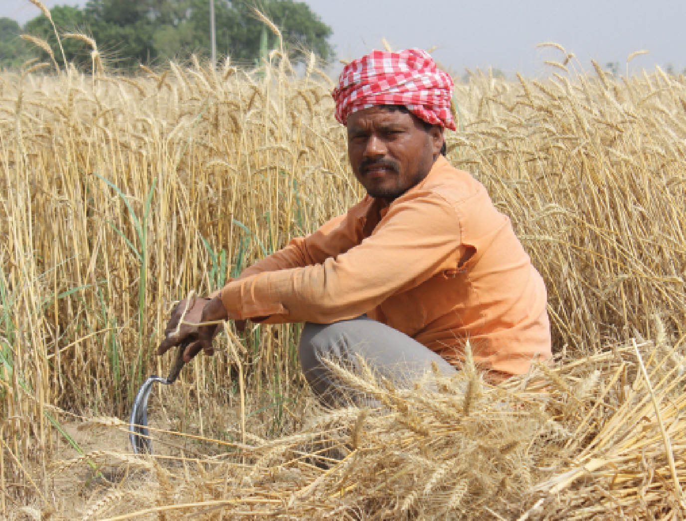
Crop production forecasts using satellite remote sensing data has been conceptualised at Space Applications Centre (SAC), Ahmedabad in early eighties under Crop Production Forecasting (CPF) project. I...
Geospatial technology also provides input for various aspects of horticulture development, including research, expansion, post-harvest management etc. A project called CHAMAN (Coordinated Horticulture...
The advances in medical science have come hand in hand with the arrival of new technology that is capable of diagnosis, treatment and everything in between. This makes it crucial to ensure accurate and comparable results of clinical measurements.

Rural employment creation is the vital process in mitigating economic weakness of rural poor using best of the technological paradigm available. Mahatma Gandhi National Rural Employment Guarantee Act (MGNREGA) is a citizen benefit scheme with legal binding that ensures guaranteed demand driven wage employment to every rural household whose adult members volunteer to do unskilled manual work, withi...

Crop production forecasts using satellite remote sensing data has been conceptualised at Space Applications Centre (SAC), Ahmedabad in early eighties under Crop Production Forecasting (CPF) project. Its success led to the CAPE (Crop Acreage and Production Estimation) project for Ministry of Agriculture and Farmers’ Welfare (MoA&FW) towards forecasting of production of crops in the major growing re...
