Rare Earth Elements (REE)-China’s Grip, India’s Strategy, and the Arctic Frontier
Glaw Lake was recently designated as Arunachal Pradesh’s First and India’s 101st Ramsar Site. It is located within the Kamlang Tiger Reserve and Wildlife Sanctuary. It hosts diverse flora and fauna sp...
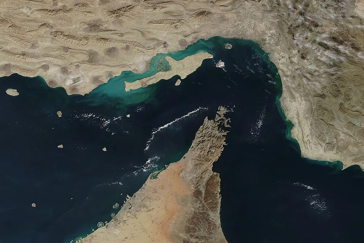
Maritime chokepoints are vital points along shipping routes that facilitate the passage of substantial trade volumes. These chokepoints control the global essential supplies such as oil, gas, fertiliz...
ENVIRONMENT, EARTH SCIENCE, BIODIVERSITY, E ARTICLE
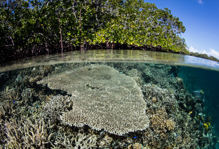
What if India's pathway to net zero does not end at factories—but begins where terrestrial meets the coastal? As carbon emissions rise and climate risks intensify, the search for solutions has largely...
China recently announced restrictions on the export of seven rare earth elements (REEs), soon after US President Donald Trump decided to impose tariffs. As the world's dominant supplier—responsible fo...
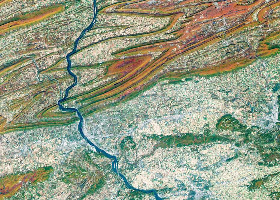
Natural resources are depleting rapidly impacting development. The availability of time series Earth observation data assists the investigation of spatial patterns of different natural resources and t...
Flood is a complex outcome of an interface between geological, physiographical, hydrological, meteorological and anthropogenic dynamics. It mandates high computational techniques for the analysis of a...
Economic activities in the Indian Ocean Region show enormous potential for growth. However, these are likely to come with major environmental costs that are currently not under consideration.
China recently announced restrictions on the export of seven rare earth elements (REEs), soon after US President Donald Trump decided to impose tariffs. As the world's dominant supplier—responsible for over 85 to 90 per cent of rare earth processing (Jayadevan, 2025)—this decision has raised alarms across the tech, defence, and energy sectors worldwide. But why do these obscure-sounding minerals...
Natural resources are depleting rapidly impacting development. The availability of time series Earth observation data assists the investigation of spatial patterns of different natural resources and the changes therein.
Flood is a complex outcome of an interface between geological, physiographical, hydrological, meteorological and anthropogenic dynamics. It mandates high computational techniques for the analysis of a large volume of hierarchical pictorial data. GIS technology, inseparably interleaved with remote sensing, helps to panoramically beam complex issues involving river floods and the feasibility of dete...