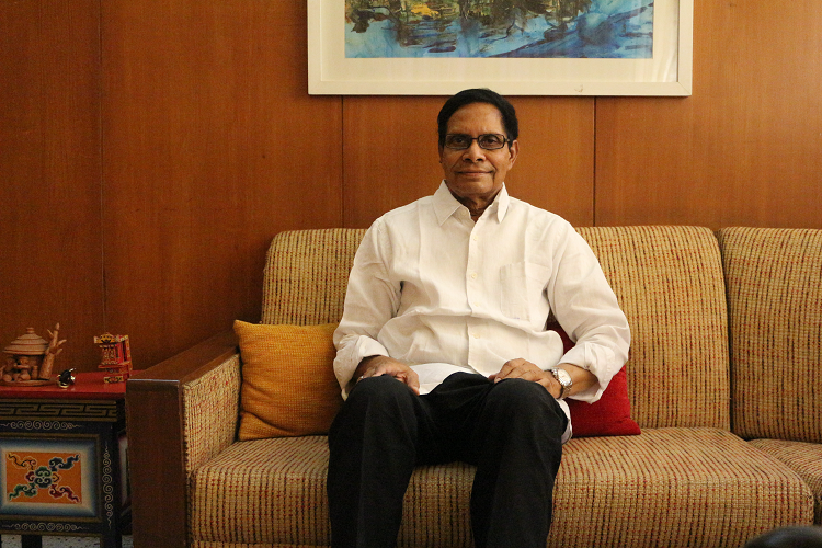
Students should read political ideologies and then debate

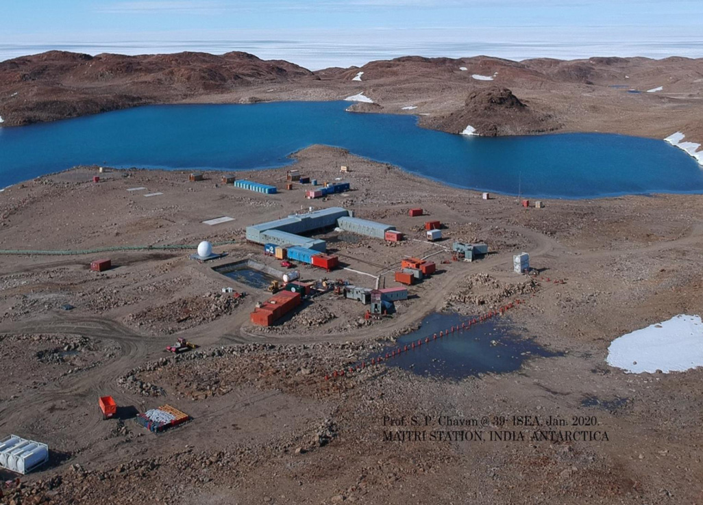
India is set to embark on a new chapter in its Polar exploration journey with the construction of Maitri II. The Indian government plans to establish a new research station near the existing Maitri ba...
.png )
The Deep Ocean Mission (DOM), approved by the Government of India in 2021 under the Ministry of Earth Sciences (MoES), represents a strategic step in realizing Sustainable Development Goal 14 (SDG 14:...
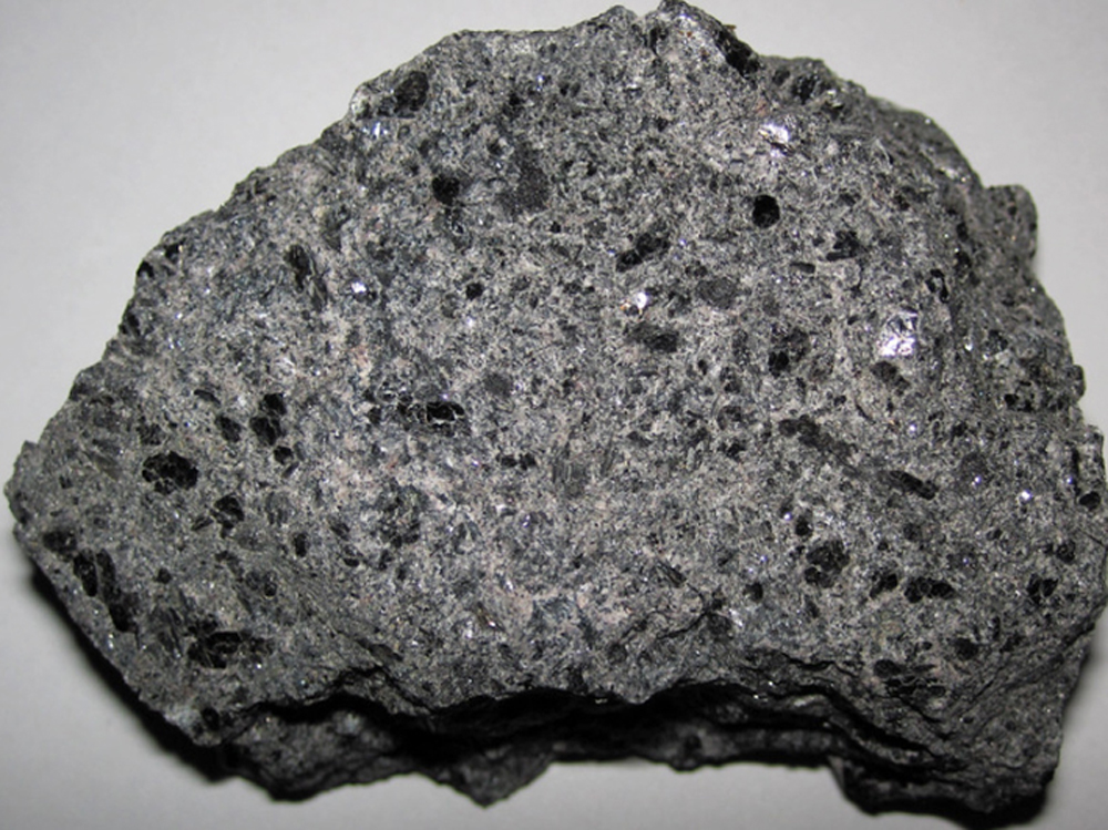
China recently announced restrictions on the export of seven rare earth elements (REEs), soon after US President Donald Trump decided to impose tariffs. As the world's dominant supplier—responsible fo...
The affable Professor N V Varghese, Vice Chancellor at National Institute of Educational Planning and Administration (NUEPA), speaks with G’nY about how higher education shapes the nature of discourse...
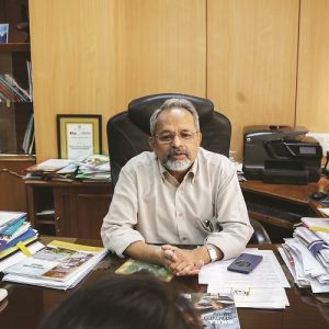
Dr Bhoop Singh, Head of Natural Resources Data Management System (NRDMS), under the Department of Science and Technology, Government of India, highlighted the use of spatial technology in geospatial h...
In conversation with Alok Mukhopadhyay, Chairman, Voluntary Health Association of India (VHAI), G’nY brings forth significant concerns in the healthcare system in India, along with prospective strate...
In conversation with Dr. G. A. Ramadass, Group Head, Scientist-G, Deep Sea Technologies Group, National Institute of Ocean Technology (NIOT). In an exclusive interview, Dr. Ramadass talks about India’...
The affable Professor N V Varghese, Vice Chancellor at National Institute of Educational Planning and Administration (NUEPA), speaks with G’nY about how higher education shapes the nature of discourse and bolsters forward linkages.

Dr Bhoop Singh, Head of Natural Resources Data Management System (NRDMS), under the Department of Science and Technology, Government of India, highlighted the use of spatial technology in geospatial health mapping and the achievements of the project across the country while speaking with Editor, G’nY.
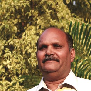
In conversation with Alok Mukhopadhyay, Chairman, Voluntary Health Association of India (VHAI), G’nY brings forth significant concerns in the healthcare system in India, along with prospective strategies.
