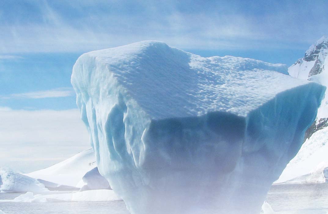
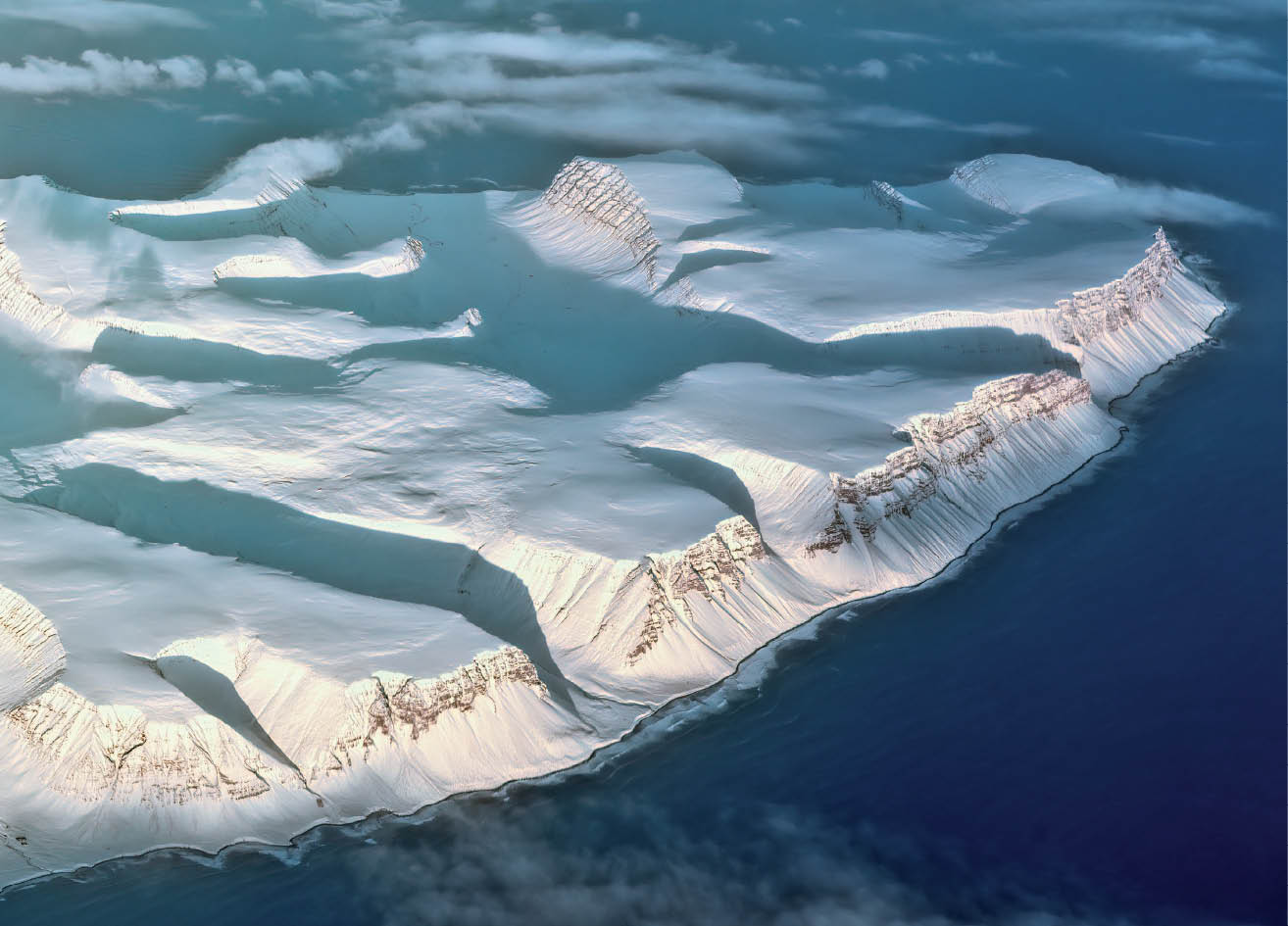
The Uncharted Waters Beneath the Ice
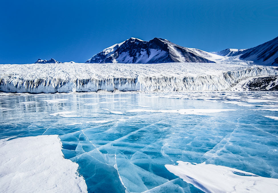
Antarctica, a vast expanse of ice and land, harbours one of the most intriguing features under its ice—the subglacial lakes. These isolated lakes form a part of the basal hydrological system and conceal unique biological ecosystems and climate records,thus prompting more scientific missions along with numerous challenges....
.png )