Ocean Science to Services
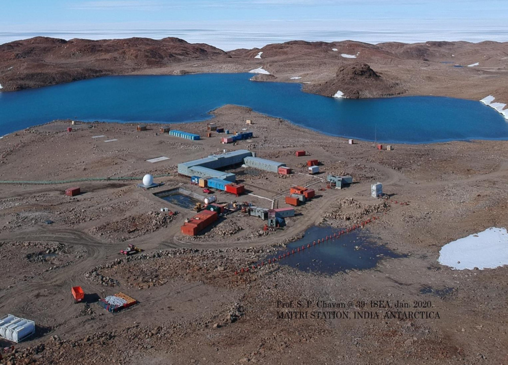
India is set to embark on a new chapter in its Polar exploration journey with the construction of Maitri II. The Indian government plans to establish a new research station near the existing Maitri ba...
.png )
The Deep Ocean Mission (DOM), approved by the Government of India in 2021 under the Ministry of Earth Sciences (MoES), represents a strategic step in realizing Sustainable Development Goal 14 (SDG 14:...
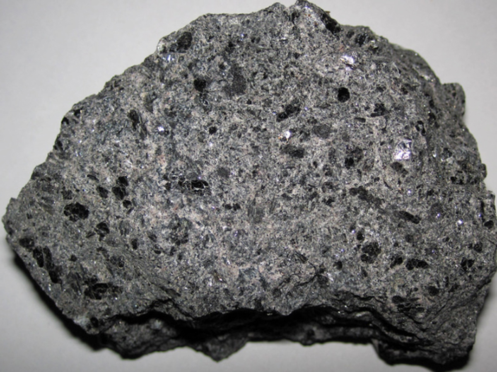
China recently announced restrictions on the export of seven rare earth elements (REEs), soon after US President Donald Trump decided to impose tariffs. As the world's dominant supplier—responsible fo...
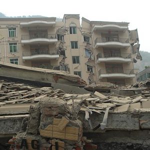
<p>The wrath of natural disasters on the face of the earth has been witnessed for millions of years. From the meteor that wiped out the dinosaur race, to the 2010 Haiti earthquake which took approxima...
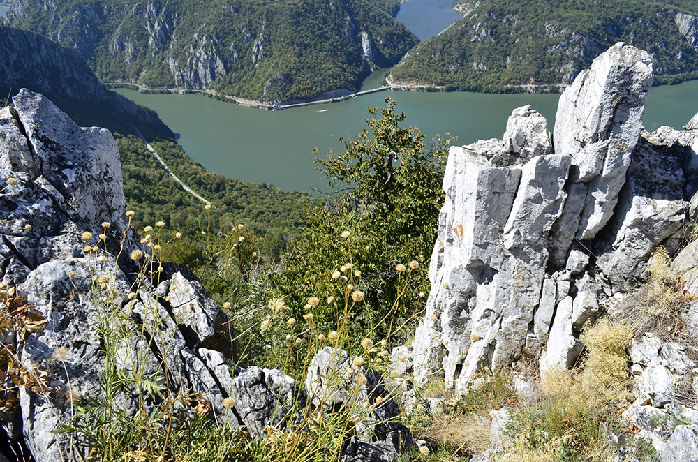
<p>Fifteen new areas have been designated as the Global Unesco Geoparks. Out of 161 geoparks in the world, not a single belongs to India. Despite having several astoundingly beautiful geoheritage site...
In the present era of a knowledge society, the world order will be shaped more than ever before by the politics of knowledge. In the post-COVID world, public health knowledge is likely to be a signifi...
<p>The wrath of natural disasters on the face of the earth has been witnessed for millions of years. From the meteor that wiped out the dinosaur race, to the 2010 Haiti earthquake which took approximately 316,000 lives and displaced million (Live Science, 2018).</p>
<p>Fifteen new areas have been designated as the Global Unesco Geoparks. Out of 161 geoparks in the world, not a single belongs to India. Despite having several astoundingly beautiful geoheritage sites, India lacks a proper conservation mechanism to help place them on the world map.</p>
