The Last Sigh of a Marsh | Jammu's Gharana: A dying wetland
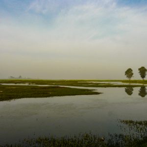
<p>The article details the author’s experience during a visit to a remote and dying wetland nestled between the India-Pakistan border in the state of Jammu and Kashmir. The status of the conservation efforts and the unique social challenges associated with the effort is detailed from the accounts of the author’s field experience in the wetland.</p>...
.png )