Using GIS to classify danger zones to minimize landslide hazard
Published: Jan 9, 2018
Published: Jan 9, 2018

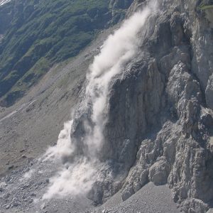
Landslide hazard analysis and danger mapping includes the mapping of potential landslide areas and categorising it into different zones based on the vulnerability.
Keep reading with one of these options :
