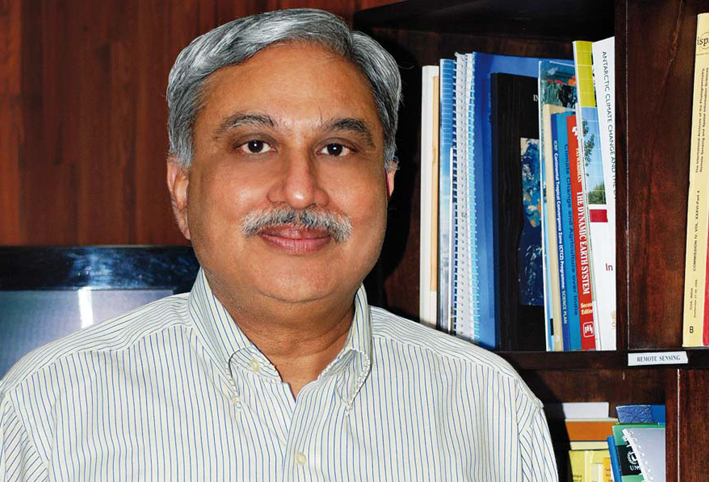
Expert Panel

Geologist and Secretary General, 36 IGC, New Delhi.

Former Professor, Jawaharlal Nehru University, New Delhi

Former Chairperson, National Biodiversity Authority, Chennai.

Former Vice Chancellor, MG Kashi Vidyapeeth, Varanasi
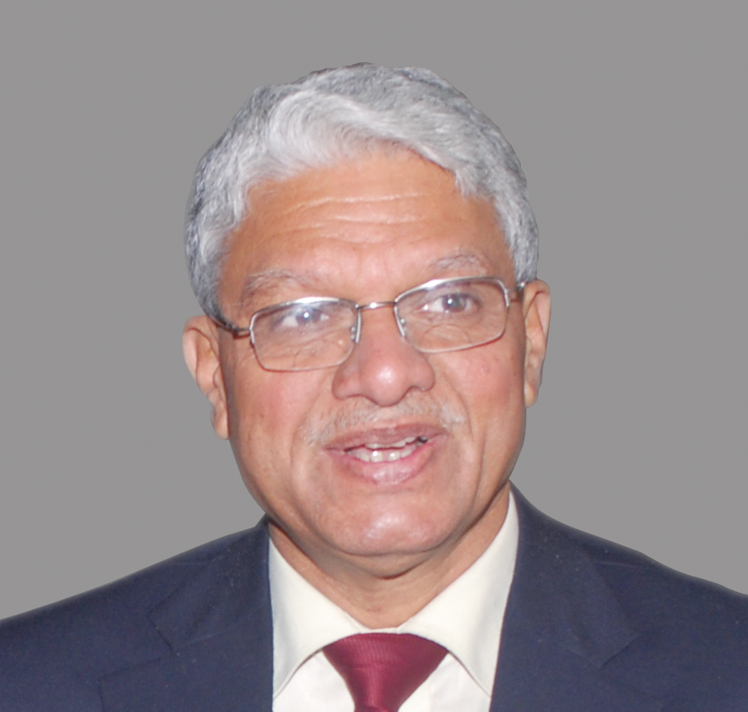
Air Vice Marshal (Retd) Former DG, India Meteorological Department (IMD), New Delhi

Former Director General, India Meteorological Department (IMD), New Delhi.
Former Professor, CSRD, Jawaharlal Nehru University, New Delhi.

Former Member Secretary, Central Pollution Control Board, New Delhi.
Inside this issue
GUEST EDITOR’S OPINION
DIRECTOR’S OPINION
PARAMETERISING
The ocean plays a vital role in determining weather and climate. The physical and chemical state of the ocean is key to determine marine habitats and the health of marine lives. Hence, it is imperative to understand the causes of variability in the ocean state across different time scales through data collected by in-situ ocean observation platforms. Further, the knowledge acquired through in-situ observation networks act as building blocks in the development of ocean state forecasting systems. Considering these aspects, ESSO-INCOIS has been maintaining various in-situ observation platforms in the Indian Ocean under the Ocean Observation Network (OON) programme. A synopsis of these networks is summarised in this article.
India is the only country in the northern Indian Ocean that has a fully operational ocean state forecast (OSF) services. This supports millions of users for smooth operations at sea, for both offshore and nearshore activities. The OSF services from ESSO-INCOIS are of a high global standard with accurate, timely forecasts and advisories. They are supported by a robust in-situ and satellite observations as well as state-of-the-art computational facilities with multi-model simulations. The services incorporate the latest information and communication technology (ICT) tools for building a well-defined dissemination system. ESSO-INCOIS has modulated its general forecasts to build impact-based forecasts based on user feedback. Its recent service caters to fishing boats far out at sea with systems enabled through NAVigation with Indian Constellation (NAVIC) and the Gagan Enabled Mariner's Instrument for Navigation and Information (GEMINI). ESSO-INCOIS also plays an active role in supporting the rising needs of ushering in the blue economy of the region.
Numerical ocean models are essentially the mathematical representation of the physical processes that govern the state of the ocean. They are extensively used in the field of oceanography to analyse and predict the behaviour of the ocean. Powerful computers are used to integrate these models to get the values of the ‘state variables’ at desired spatial/temporal intervals. This article takes a close look at the core elements of the numerical ocean modelling that serves as a virtual diving gear to delve into the unfathomable depths of the enigmatic marine world that has captured the imagination of man since time immemorial.
A geographic information system (GIS) based application Ocean Data and Information Systems (ODIS) was designed, developed and implemented at ESSO-INCOIS for easy dissemination of data and data products. It is an open source platform for publishing spatial data with interactive mapping applications on the web. MySQL serves as the backend database. This article presents storage, organisation details and data visualisations pertaining to oceanographic data. ODIS is set as an end-to-end system comprising acquisition of data from heterogeneous oceanographic platforms, processing and integration, quality controlling and disseminating for research and development.
We are living in the digital era and data driven decisions with advanced analytics and visualisation features are becoming an integral part of all walks of life. In ocean sciences abundant marine meteorological and oceanographic data from a variety of ocean observing systems are fed into models to improve the quality of weather and ocean state forecasts. Well-organised data in an integrated environment will support the usage and help in better understanding of oceanographic processes. This article presents the development of Digital Ocean, a single platform that efficiently integrates heterogeneous ocean data and provides advanced visualisation and analysis to facilitate the improved understanding of oceans through a multi-disciplinary approach.
DISASTER MANAGEMENT
The Indian Ocean tsunami, triggered by the Sumatra-Andaman earthquake on December 26, 2004, caused approximately 2,30,000 casualties and widespread damage to infrastructure in several Indian Ocean rim countries. In fact, the 2004 tsunami was one of the strongest and deadliest ever recorded in terms of magnitude, which put into perspective the need to set up an early warning system for tsunamis in India. Following the 2004 tsunami, the Indian Tsunami Early Warning System (ITEWS) was established to provide early warnings on impending tsunamis triggered due to earthquakes in the Indian Ocean. This article describes various components of ITEWS, the decision support system and the bulletins. It also discusses issues, challenges and future developments.
Tropical storm forecast models conventionally use static sea surface temperature (SST), assuming its temporal changes are not significant in forecast. However, oceanic processes such as upwelling, currents and eddies, significantly modulate SST even at short time scales. Such changes have the potential to influence the planetary boundary layer. Eminent climate scientists, Morris A Bender and Issac Ginis have shown that inclusion of initial conditions with oceanic mesoscale features can improve hurricane/cyclone intensity forecasts. Scientific evidence thus supports better forecasts with coupled forecast systems and several forecast centres across the globe depend on such systems. In line with the international efforts, Ministry of Earth Sciences (MoES) and two of its institutes, ESSO-INCOIS and ESSO-IMD, established a state-of-the-art coupled forecasting system for cyclones arising in the Indian Ocean in collaboration with National Oceanic and Atmospheric Administration (NOAA) of USA. In the present article, we explore the relevance of the system and its performance in achieving this goal.
Dense population along the Indian coast impacts the coral ecosystems making them susceptible to natural and man-made hazards. This work assesses the physical vulnerability and socio-economic risks due to oceanogenic disasters at the regional as well as micro level. The study also encompasses the impact of sea surface temperature (SST) on coral ecosystems that leads to coral bleaching. The assessment of remote sensing data combined with geographical information system (GIS) technology provides meaningful information on coastal vulnerability and risk associated with oceanogenic disasters along the Indian coast holding immense relevance for disaster management.
The present century is experiencing frequent widespread occurrences of algal bloom events in different regions of the world’s oceans. The bloom events more often deteriorate the functions of the ecosystem. Therefore, fishermen, fishery resource managers, researchers, ecologists, pollution monitoring agencies and environmentalists demand continuous monitoring of bloom episodes. This article presents the satellite based algal bloom detection and monitoring service of ESSO-INCOIS for the Indian waters.
FOR PEOPLE
The Potential Fishing Zones (PFZ) advisory provided by Hyderabad based ESSO-INCOIS has made a remarkable difference in the lives and livelihoods of the fishing community across the Indian coast. It has resulted in significant savings in terms of time, effort and fuel spent in looking for fish shoals, thus improving profitability and the socio-economic status of fisherpersons. This advisory is useful in the reduction of CO2 emissions too, indirectly contributing towards protection of the environment. This article provides an overview of the pathbreaking pfz technology that has set a milestone in the reliability of marine advisory and forecast services.
ESSO-The Indian National Centre for Ocean Information Services (ESSO-INCOIS)provides a host of economic and environmental benefits to the coastal populace through a wide variety of services—ocean state forecast, potential fishing zone advisory and the tsunami early warning system. Ground surveys conducted by various agencies among the beneficiaries corroborate the efficacy of ESSO-INCOIS’ services.
ESSO-Indian National Centre for Ocean Information Services (ESSO-INCOIS) has for a while been providing innovative services such as fishing zone advisories, ocean state forecast and tsunami early warning. Further in 2012, in order to build capacity in the field of ocean services and operational oceanography, the Ministry of Earth Sciences set-up an International Training Centre for Operational Oceanography (ITCOocean) at INCOIS. The benefits were also envisaged to reach the Indian Ocean rim countries and other developing nations. In 2015, ITCOocean was recognised as a Regional Training Centre (RTC) by the Ocean Teacher Global Academy (OTGA) of the International Oceanographic Data and Information Exchange (IODE). The centre has state-of-the-art infrastructure, academic curriculum, administrative units, international hostel facility and expert faculty from the field of oceanography. The initiative was appreciated by Intergovernmental Oceanographic Commission which led to its recognition as Category 2 Center (C2C) in 2017 under the UNESCO. It is therefore now a pioneer institute in the field of operational oceanography, offering various certificate programmes ranging from days to weeks and will eventually look to provide diploma programme in the field of operational oceanography.
In brief
In addition to capacity building efforts and user trainings ESSO-INCOIS also organises activities to increase public awareness and attract potential users through interactive displays at exhibitions, social media, open house programmes and special visiting slots.
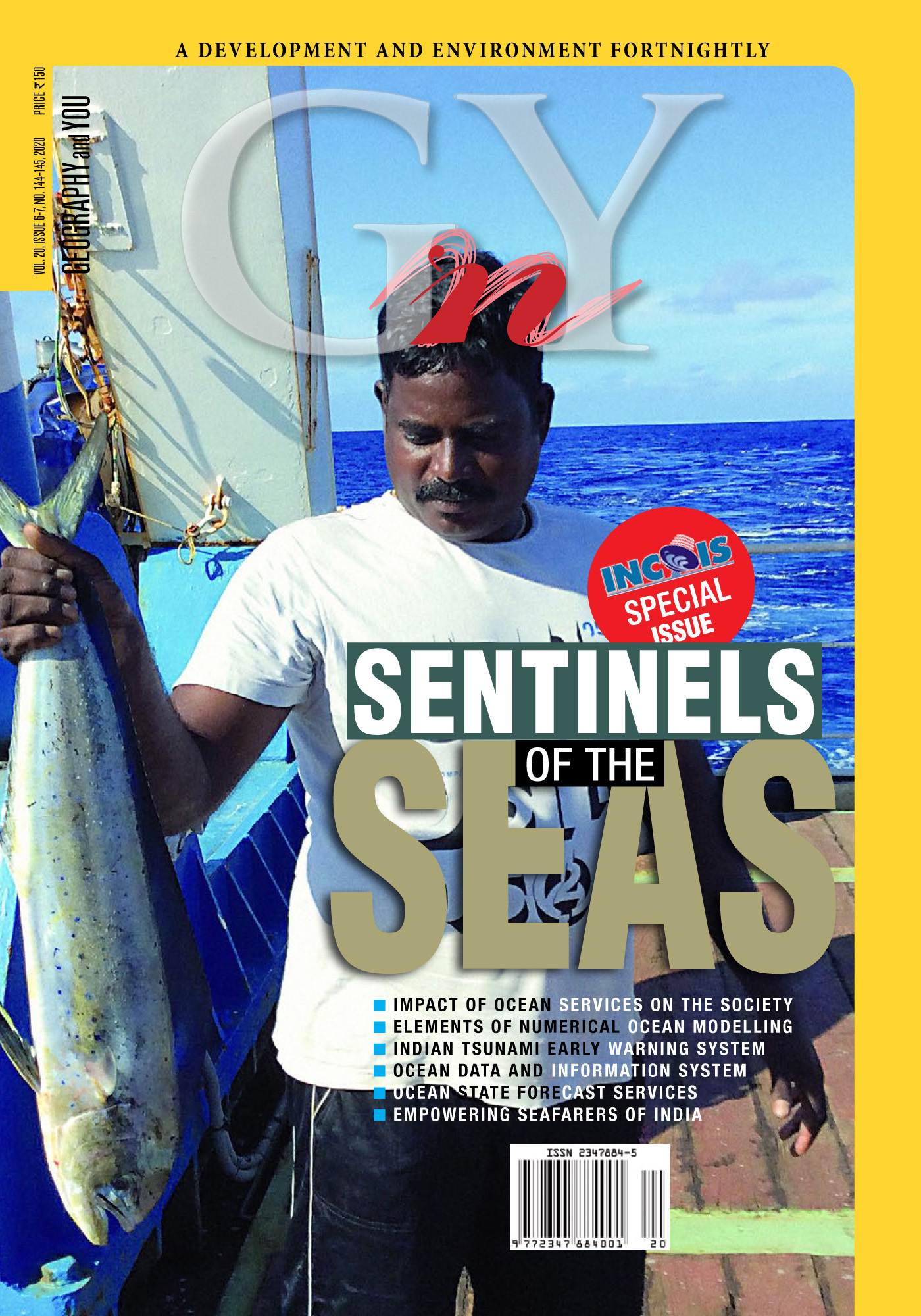
The secrets of the seas Seafarers inhabit two diverse realms, the proverbial chalk and cheese, land and ocean. In their fearless hearts lie a calling so unique that the deep blue instills a need to explore, to seek and to mark the rolling waves with myriad instruments that ferret the secrets of the

